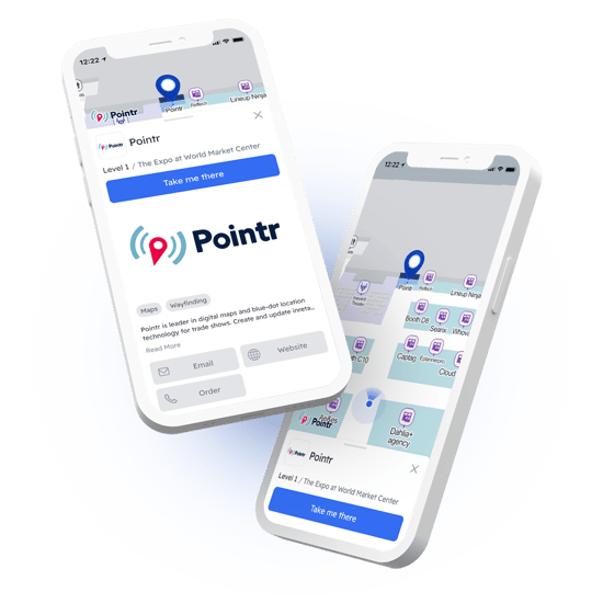
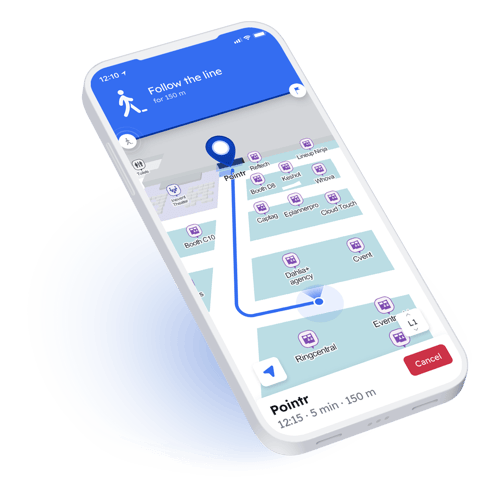
3D maps and intuitive wayfinding
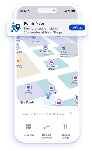
Event Mapping & Indoor Navigation
Revolutionize attendee and exhibitor experience at your event, conference, trade show, or exhibition with the only AI-powered event mapping and navigation solution

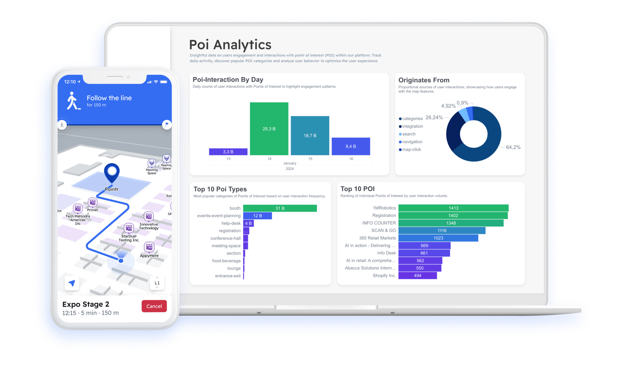
Over 1 million
map sessions at CES®, NRF, & more
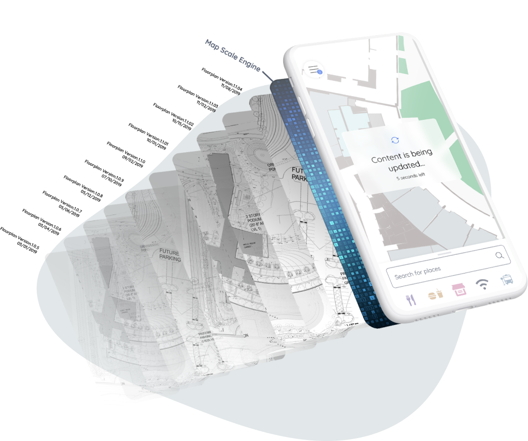
1-3 meter
Blue Dot accuracy as standard


.svg)


Join the Pointr Connected Venue™ Program
Unlock your venue's potential with the Connected Venue™ Program. Install Pointr in your venue, promote the world's best indoor mapping and navigation platform to your events and clients, and enjoy revenue share on deployments


.jpeg?width=1037&height=854&name=pexels-gdtography-277628-911758%20(1).jpeg)